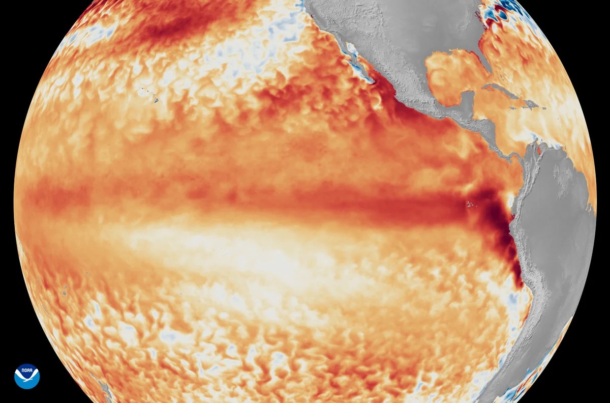
The odds are shifting. A Super El Niño might be on the way. And when it arrives? It could get ugly.
Data from the National Weather Service confirms the ongoing El Niño pattern has intensified over the last month. It is not slowing down. In fact it looks like it will keep growing in power well into 2027. We are looking at a system with an 81% chance of hitting Super El Niño status. There is also a 97% chance this will last through early spring of 2027.
Sea surfaces in the central and eastern Pacific are running hot. At least one degree Celsius above normal in some places. In others? Almost three. This puts us in rare territory. Since 1950 we have only seen a handful of events this strong.
What happens then.
The planet gets hotter. A stronger El Niño tips the scales toward making 2026 or 2027 the hottest year on record. History says that is exactly what Super El Niños do.
The mechanics of the shift
El Niño starts in the Pacific. Usually the water is cold in the east and warm in the west. During this event that flips. The eastern waters heat up. They release that heat into the atmosphere. Wind patterns scramble.
The fallout is messy. Southeast Asia might face worse floods, fires, or famine risks. Atlantic hurricanes? They might calm down for now. A mixed bag for sure. Some places gain others lose.
Is geoengineering a fix.
Scientists have thrown the idea around. Trying to weaken the pattern with artificial interventions. It is not technically feasible right now. The ethical questions alone are thorny. So for now we just wait for the weather.
The NOAA confirmed the emergence back in June. The new advisory from July 9 shows it is only picking up steam. The damage isn’t hypothetical anymore. The conditions are set.
We know it is going to be hot. We know it might last. But how bad does the cascade actually get when it hits home?